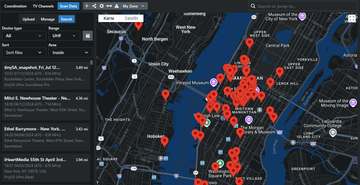
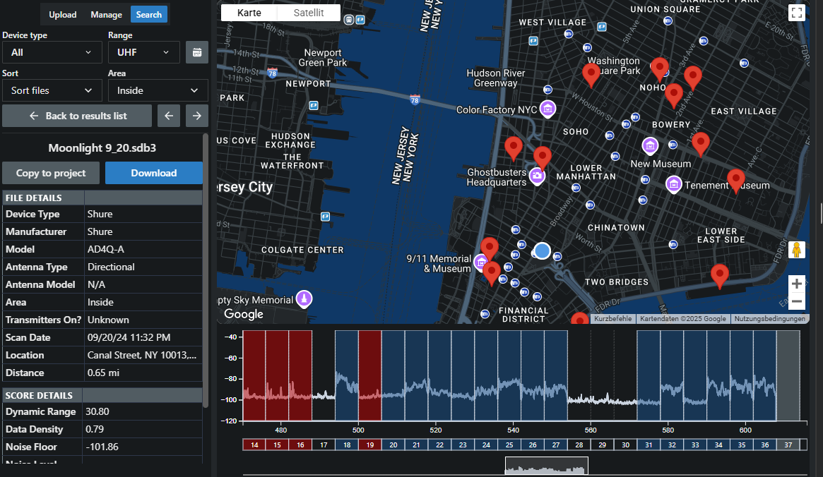
Scan Data is a utility for searching, managing, and uploading scans to the Coord Database.
When you first launch it in a project, Scan Data automatically searches your location and displays any nearby scans.
Scans are displayed both on the map and in a list on the left side. You can filter the search parameters by device and frequency range. You can also filter results by age and sort them by distance, date, or device type.
To start Scan Data:
In the lower header of the project management area, click the button Scan Data.
Your current location will be used to display available data both on the map and in the list on the left.
Image without caption
Click on a specific list entry to get detailed information of the scan.
You will see file details on the left with options to copy it to your project or download as a CSV.
Image without caption
Click on:
  • Copy to project to make the data available in your Plot Area or
  • Download to save it locally.
Optionally, rate scans with upvotes or downvotes to help others evaluate their quality.
Icon
Scan Data has been used successfully.
Share